Our Products
HERON MS-1
Description and About
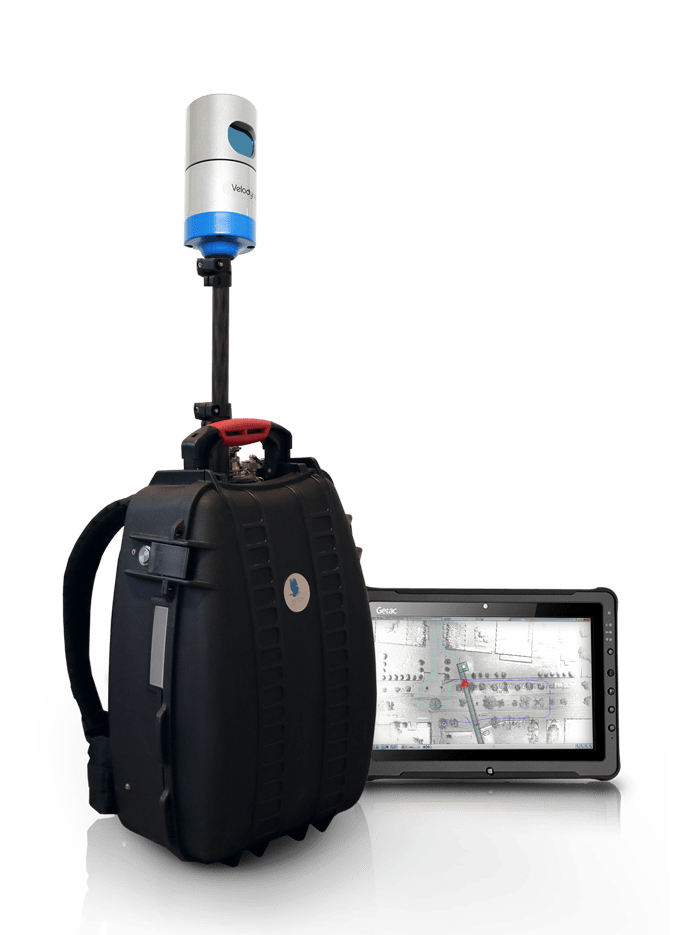
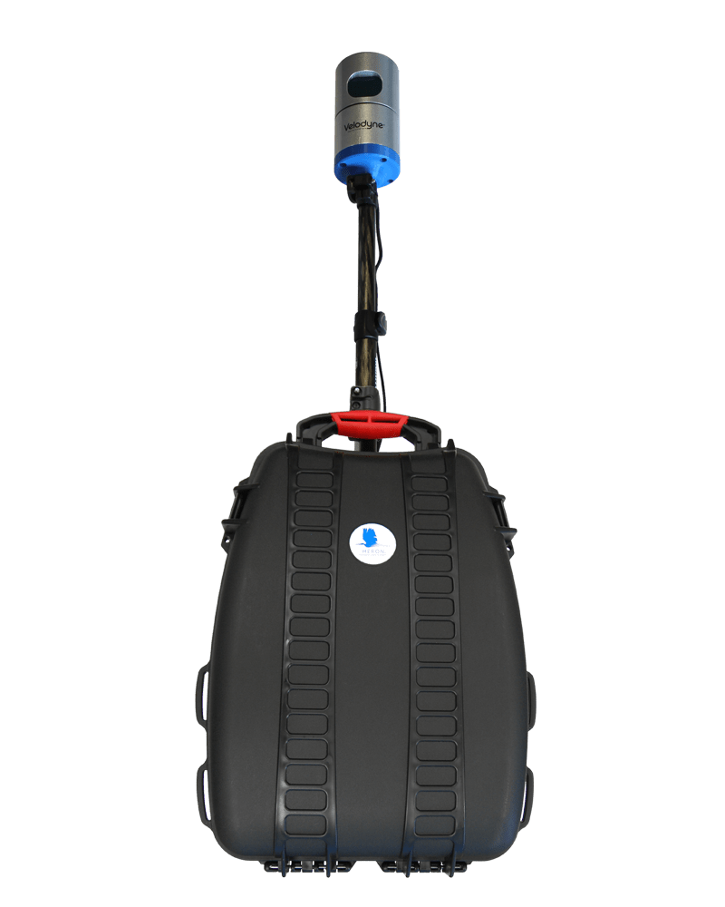
The HERON MS-1 is perfect mobile surveying system for difficult fields. THE HERON MS-1 is the rugged variant of the HERON system and is built for surveyors who need to take on arduous work like in humid or dusty sites without compromising excellence in real-time 3D mapping, localization and detection capabilities. The HERON MS-1 supports real time 2 cm resolution 3D mapping virtually anywhere with 2 cm local accuracy and 5 cm global accuracy. Higher resolution scans can be automatically registered on the HERON point cloud when required. The HERON MS-1 can be used anywhere and does not require GPS / GNSS, targets, trolleys and calibration stops in order to work properly. Its rugged design is particularly useful in sites such as underground mines.
Description
About
Description
About
The HERON MS-1 is perfect mobile surveying system for difficult fields. THE HERON MS-1 is the rugged variant of the HERON system and is built for surveyors who need to take on arduous work like in humid or dusty sites without compromising excellence in real-time 3D mapping, localization and detection capabilities. The HERON MS-1 supports real time 2 cm resolution 3D mapping virtually anywhere with 2 cm local accuracy and 5 cm global accuracy. Higher resolution scans can be automatically registered on the HERON point cloud when required. The HERON MS-1 can be used anywhere and does not require GPS / GNSS, targets, trolleys and calibration stops in order to work properly. Its rugged design is particularly useful in sites such as underground mines.
Related products
-
PORTABLE MOBILE MAPPING
Wearable Mobile Mapping Ac 1
-
Mobile Mapping System
Sky Scanner
-
Mobile Mapping System
Pave Scanner
-
Mobile Mapping System
PMS SIT

Sign up newsletter
Business is the activity of making one living or making money by producing or buying and selling products. Simply put it is any activity or enterprise entered into for profit.
By signing up agree our Terms & Services.
×


Reviews
There are no reviews yet.