Description
About
The D-600 is a 6-rotor autopilot capable multicopter.
Drones are powerful and disruptive tools, especially in the commercial space. They are able to provide early adopters with cutting edge insights, large jumps in efficiency along with added safety. LYNX is proud to offer our cutting edge selection of survey grade UAVs and Precise Aerial Imaging Systems (PAIS).
With their enhanced ability to capture data from a birds-eye-view, drones have been successfully integrated into surveying workflows to perform land surveys, photogrammetry, 3D mapping, topographic surveying etc.
Whether you’re an experienced surveyor looking to advance and upskill your toolkit, or a drone enthusiast who wants to know more ways to use their drone, we’re here to bring you the very best when it comes to getting started with drone surveying.
 SERIES D 600")
 PORTABLE MOBILE MAPPING
 Mobile Mapping System
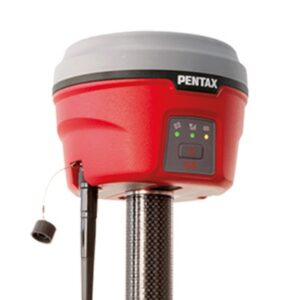 GNSS SYSTEM
Reviews
There are no reviews yet.