Flooding has become one of the most frequent and damaging natural disasters faced by cities across India and the world. Rapid urbanization, climate change, and extreme rainfall events often overwhelm drainage systems, disrupt lives, and cause significant economic losses. In such scenarios, accurate and timely weather monitoring is not just useful- it is essential.
Two critical tools that play a frontline role in flood management are rain gauges and weather stations. Let’s explore how they work and why they are so important for urban resilience.
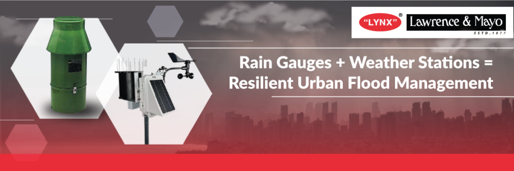
1. Rain Gauges: Measuring What Matters
A rain gauge is one of the simplest yet most powerful instruments in hydrometeorology. By recording the amount of rainfall over time, rain gauges provide ground-level, highly accurate data about precipitation.
Why it matters:
• Early Flood Warnings: Continuous rainfall data helps authorities assess when water levels may reach critical thresholds.
• Urban Drainage Planning: Engineers rely on historical rainfall records to design stormwater drains and reservoirs.
• Localized Monitoring: Since rain intensity can vary across short distances, rain gauges give hyperlocal insights, which satellite data often misses.
2. Weather Stations: A Complete Picture
While rain gauges focus on rainfall, automatic weather stations (AWS) provide a 360-degree view of environmental conditions. They measure:
• Rainfall
• Temperature & humidity
• Wind speed & direction
• Atmospheric pressure
Why it matters:
• Flood Forecasting Models: Weather stations supply real-time inputs for forecasting heavy rainfall events and flood scenarios.
• Disaster Response: Combining rainfall, wind, and pressure data allows disaster management teams to predict storm surges and landslides.
• Urban Planning: Long-term weather data helps governments design climate-resilient infrastructure.
3. The Role in Urban Flood Management
In cities like Mumbai, Chennai, and Guwahati, extreme monsoon events frequently lead to flooding. Deploying a network of rain gauges and weather stations enables:
• Real-time Alerts: Authorities can send warnings to residents before waterlogging reaches dangerous levels.
• Data-driven Infrastructure Upgrades: Drainage systems can be redesigned using accurate rainfall patterns.
• Emergency Coordination: Airports, railways, and road transport departments can make better decisions to minimize disruptions.
4. Lynx’s Contribution
At Lynx – Lawrence & Mayo, we provide advanced hydrometeorology instruments such as automatic rain gauges, water level recorders, and automatic weather stations. These tools empower city planners, researchers, and disaster management agencies with reliable, real-time data.
By strengthening monitoring systems, we help cities transform raw weather data into actionable insights-building resilience against floods and protecting lives.
✅ Conclusion
Floods are inevitable, but their impact can be managed. The key lies in measuring rainfall accurately, monitoring weather comprehensively, and acting on reliable data. With instruments like rain gauges and weather stations, cities can move from being reactive to proactive in flood management.
At Lynx, we believe that data saves cities, and we are committed to providing the tools that make this possible.
👉 Explore our Hydrometeorology Solutions here
Connect with Lynx – Lawrence & Mayo for cutting-edge instruments, expert training, and unmatched field support.
📞 +91 94835 11877 / +91 91526 31877
🌐 https://lynxinst.com/