Modern infrastructure depends on accurate surveying, and today’s students must learn using advanced instruments that match real industry workflows. Lynx Instruments helps institutes upgrade their training by offering reliable, classroom ready surveying tools.
Essential Tools for Today’s Surveying Students:
Total Stations:
Lynx total stations help students learn land mapping, contouring, and accurate topographic data collection with easy-to-use digital interfaces.
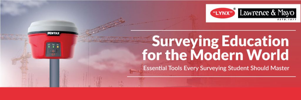
GNSS Survey Systems:
With Lynx GNSS receivers, students experience high accuracy positioning and understand real time geospatial data collection used across modern projects.
Auto Levels and Digital Levels:
These tools teach core levelling skills and help students understand elevation, grading, and site preparation.
Laser Distance Meters:
Fast and accurate, these Lynx meters are perfect for indoor mapping, quick measurements, and basic site assessments.
GIS and Mapping Software:
Students learn how to manage and analyse geospatial data, a key requirement in planning and environmental studies.
UAV and Drone Based Surveying:
Lynx UAV solutions introduce students to aerial mapping, contour generation, and digital terrain modelling.
Why it Matters:
Using Lynx Instruments in education ensures students gain
- Practical field skills
- Better accuracy
- Understanding of digital workflows
- Job ready competence
Preparing Future Surveyors
By integrating modern surveying tools into classrooms and labs, Lynx Instruments helps shape confident, industry ready survey professionals equipped for careers in construction, geospatial sciences, civil engineering, and environmental management.
To explore surveying tools for educational programs or request a quote, contact Lynx Instruments today.
📞 Call us: +91 94835 11877 | +91 98202 39443
🌐 Visit: www.lynxinst.com