GPS and GNSS are the technologies that allow us to envision entirely driverless cars, guiding millions of people to their destinations via maps and connecting individuals with pinpoint accuracy via phones. The GPS and GNSS technologies have provided the convenience of travelling to entirely new cities and navigating through traffic jams.
Unlike GNSS, GPS is a very common term amongst people and stands for GLOBAL POSITIONING SYSTEM. Whereas GNSS is not a very popular term among the general public and stands for Global Navigation Satellite System. In this article, we will focus on highlighting the working of a GPS & GNSS and the difference between the GPS & GNSS technology.
What is Global Positioning System (GPS)?
GPS (Global Navigation Satellite System) is one such type of Global Navigation Satellite system. GPS (Global Positioning System) is a satellite-based navigation system that provides precise position and time information to users everywhere in the world through a network of satellites orbiting the Earth. It calculates the user’s position using signals from numerous satellites, allowing them to identify their exact coordinates.
What is the history of a GPS?
The GPS term originated from “NAVSTAR” ( Navigation Satellite Timing And Ranging), developed by the US Department of Defense for military purposes in the 1970s. After the first successful satellite launch in 1978 using the GPS satellite system, GPS technology evolved smoothly.
GPS technology evolved very fast in the 80s and 90s with very high-tech and precise receivers. PENTAX GNSS RECEIVER is one such example of the current times GNSS system receiver. Ultimately creating a military threat and the question of national safety for the US government.
Responding to the situation, the US government confined the use of GPS with the term selective availability of the GPS system to the general public. In the year 2000, the US government switched off Selective Availability, making GPS become part of our daily life very smoothly.
Below is the picture of the world’s first commercial GPS simulator by Spirent. Since then, we’ve developed an array of satellite constellations and signals.
What is Global Navigation Satellite System (GNSS)?
GNSS (Global Navigation Satellite System) is a broad combination of different types of satellite-based positioning, navigation and timing (PNT) systems used globally.
The term GNSS refers to a group of satellite systems that includes the widely-known GPS (Global Positioning System) built by the United States, as well as other systems such as GLONASS (Global Navigation Satellite System) from Russia, Galileo from the European Union, BeiDou from China, and Navigation Indian Constellation (NavIC).
These systems share information to give users throughout the world precise location, navigation, and timing information. The integration of numerous satellite systems improves GNSS availability, precision, and dependability.
Just like “NAVSTAR”, every other country or group of countries that especially runs a space organisation has their own satellite positioning system. When three different satellite positions are used to find the coordinates of a desired location of a point it is called “Trilateration”. When more than three distances or satellite locations are involved, it may be called “multilateration”.
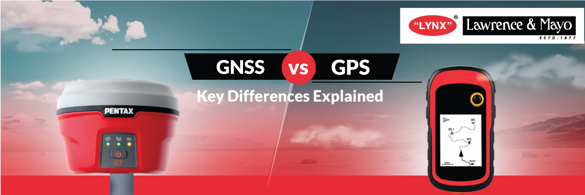
What’s the Difference Between GPS and GNSS?
Ultimately the difference between GPS and GNSS is that the GPS system uses different satellite positions from one single constellation to provide your accurate position and time, whereas the GNSS system uses multiple satellite positions from multiple satellite constellations to provide you with the most precise location and timing.