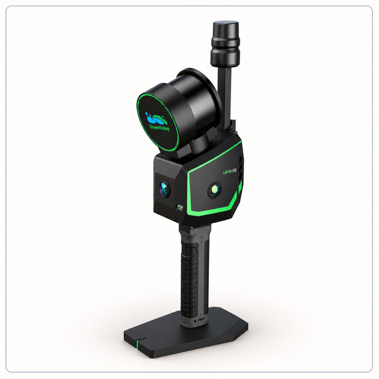
The LiGrip O2 Handheld Mobile LiDAR Scanner is designed for high-precision 3D mapping, mobile surveying, and reality capture across complex environments. With a scanning rate of up to 640,000 points per second, a detection range of up to 300 metres, and advanced SLAM technology, it enables efficient point cloud collection for infrastructure surveying, construction documentation, and digital mapping.
Business is the activity of making one living or making money by producing or buying and selling products. Simply put it is any activity or enterprise entered into for profit.
 Digital Level
 Surveying Instruments and Drones
 Mobile Mapping System
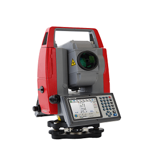
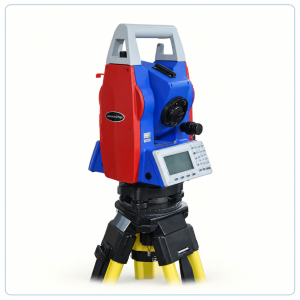 LYNX TOTAL STATION

Reviews
There are no reviews yet.