
As infrastructure projects become increasingly complex, surveyors need technology that is faster, more accurate, and capable of capturing detailed spatial data in any environment. Traditional surveying methods can be time-consuming, while static laser scanners often require multiple setups and longer field times.
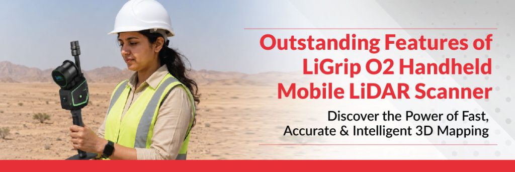
The LiGrip O2 Handheld Mobile LiDAR Scanner is changing the way professionals capture reality. Combining advanced LiDAR technology, SLAM (Simultaneous Localization and Mapping), and high-resolution imaging, it enables users to create accurate 3D point clouds while simply walking through a site.
At Lynx – Lawrence & Mayo, we provide advanced mobile LiDAR solutions that help surveyors, engineers, and infrastructure professionals improve productivity, reduce project timelines, and achieve exceptional accuracy
What is the LiGrip O2?
The LiGrip O2 is a lightweight handheld mobile LiDAR scanner designed for fast and efficient 3D data capture. Unlike conventional surveying equipment, it collects millions of measurement points in real time, making it ideal for projects that demand speed, flexibility, and precision. Its portable design allows surveyors to scan indoor and outdoor environments with ease, including locations where conventional GNSS-based surveying may be difficult.
Outstanding Features of the LiGrip O2
High-Precision 3D Mapping
LiGrip O2 captures dense and highly accurate point clouds, making it suitable for engineering surveys, construction documentation, digital twins, and infrastructure mapping.
Advanced SLAM Technology
Powered by Simultaneous Localization and Mapping (SLAM), LiGrip O2 operates efficiently even in GNSS-denied environments such as tunnels, industrial plants, dense urban areas, and indoor facilities.
Lightweight and Portable
Designed for field professionals, the handheld unit is compact, ergonomic, and easy to carry, allowing surveyors to work comfortably for extended periods.
Faster Data Collection
Instead of setting up equipment at multiple locations, users can simply walk through the survey area while continuously capturing millions of data points. This significantly reduces field time and improves productivity.
Real-Time Point Cloud Visualization
Operators can monitor scan quality during data collection, helping identify missing areas immediately and reducing the need for repeat site visits.
High-Resolution Imaging
Integrated cameras capture detailed imagery that can be combined with LiDAR data to produce realistic, colourized point clouds for better visualization and analysis.
Versatile Applications
The LiGrip O2 is suitable for a wide range of industries, including:
- Land Surveying
- Construction
- Highway & Railway Projects
- Mining
- Utility Mapping
- Industrial Facilities
- Heritage Documentation
- Smart Cities
- BIM & Digital Twin Creation
Why Choose LiGrip O2?
The LiGrip O2 offers several advantages over traditional surveying methods:
- Faster project completion
- High-precision 3D data capture
- Reduced fieldwork and labour costs
- Reliable performance in complex environments
- Improved workflow efficiency
- Easy integration with modern mapping and BIM software
These capabilities make it an excellent choice for professionals looking to improve both productivity and data quality.
Why Choose Lynx – Lawrence & Mayo?
Choosing the right technology partner is essential for successful surveying projects.
Lynx – Lawrence & Mayo offers advanced LiDAR and geospatial solutions designed to meet the needs of modern surveyors, engineers, and infrastructure developers. Our portfolio includes innovative technologies that help organizations capture accurate spatial data faster and more efficiently.
Explore our Surveying & GIS solutions:
Visit our website: https://lynxinst.com/
Conclusion
The demand for faster and more accurate spatial data continues to grow across construction, infrastructure, mining, and smart city projects. The LiGrip O2 Handheld Mobile LiDAR Scanner combines portability, speed, and precision to help professionals complete projects with greater confidence and efficiency.
Whether you’re creating digital twins, conducting infrastructure surveys, or mapping challenging environments, the LiGrip O2 provides the performance needed for today’s demanding applications.
With innovative geospatial technologies from Lynx – Lawrence & Mayo, survey professionals can embrace the future of mobile LiDAR surveying with accuracy, reliability, and productivity.
Frequently Asked Questions
What is the LiGrip O2?
The LiGrip O2 is a handheld mobile LiDAR scanner that captures accurate 3D spatial data using advanced LiDAR and SLAM technology.
What are the key features of the LiGrip O2?
Its key features include high-precision 3D mapping, advanced SLAM technology, lightweight design, real-time point cloud visualization, high-resolution imaging, and fast data collection.
Where can the LiGrip O2 be used?
It is widely used in construction, land surveying, mining, infrastructure projects, utility mapping, BIM, digital twin creation, and heritage documentation.
Why choose Lynx – Lawrence & Mayo?
Lynx – Lawrence & Mayo provides advanced surveying and geospatial solutions backed by decades of expertise, helping professionals achieve greater accuracy, efficiency, and reliability in every project.