Showing 37–48 of 86 results
-
 Mobile Mapping System
Mobile Mapping System Road Scanner C
-
 GNSS SYSTEM
P300 Controller
-
Mobile Mapping System
Pave Scanner
-
 Automatic Levels
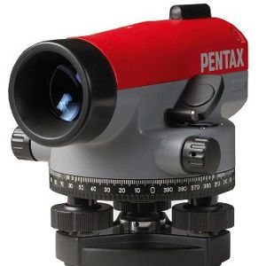
Pentax Auto Level (AP 220) Series
-
 Automatic Levels
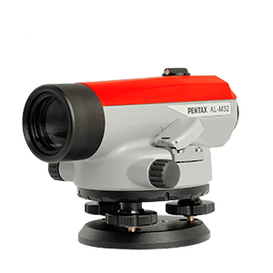
Pentax Auto Level AL-M Series
-
 Automatic Levels
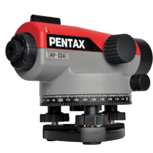
Pentax Auto Level AP Series
-
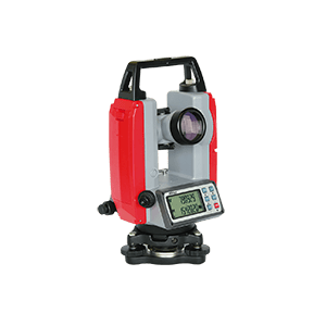 Surveying Instruments and Drones
Pentax ETH-500 Series of Electronic Theodolites
-
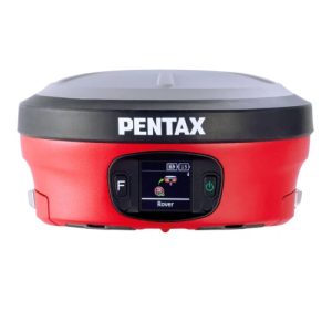
 Surveying Instruments and Drones
Pentax GNSS Receiver – GX2A
-
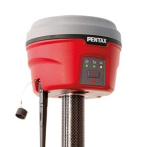 GNSS SYSTEM
Pentax GNSS Receiver G6 Series
-
Surveying Instruments and Drones
Pentax GX2-C GNSS Receiver
-
 Surveying Instruments and Drones
Pentax GX2-L Laser GNSS Receiver
-
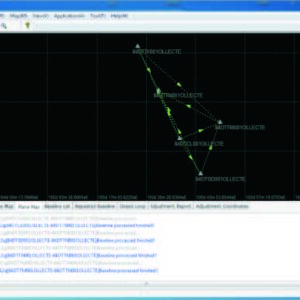 GNSS SYSTEM
Pentax post-processing software