PPO is a GNSS surveying and mapping software on Windows PC designed for GNSS static and kinematic data post-processing.
By a few clicks you will get the processed result and reports.
Business is the activity of making one living or making money by producing or buying and selling products. Simply put it is any activity or enterprise entered into for profit.


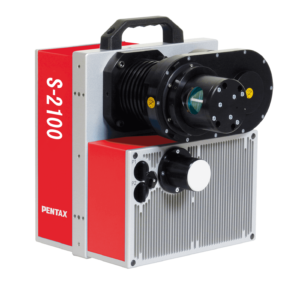 SCANNERS
 Mobile Mapping System
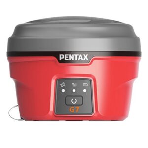 GNSS SYSTEM